

Structure
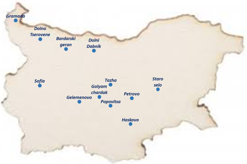
The structure of the Hail Suppression Agency consists of eleven Regional Directorates with command posts alongside rocket launching sites. The first hail suppression unit was found in the town of Saedinenie, District of Plovdiv, in 1969.
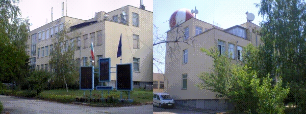
Command post of Hail Suppression Regional Directorate – the village of Gelemenovo, District of Pazardzhik
It was set up in 1972 after the split of the first command post in the town of Saedinenie
approximately 150 000 ha
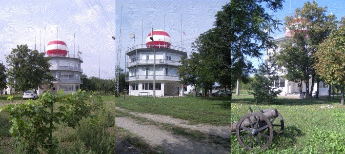
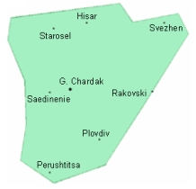
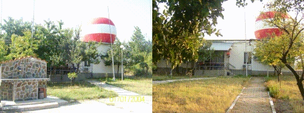
Command post of Hail Suppression Regional Directorate – the village of Golyam Chardak, District of Plovdiv
It was set up in 1972 after the split of the first command post in the town of Saedinenie. It is fitted up with MRL-IRIS
approximately 200 000 ha
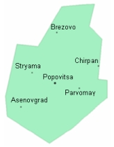
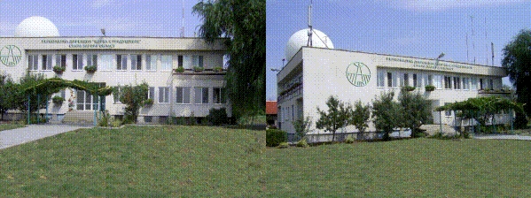
Command post of Hail Suppression Regional Directorate – the village of Popovitsa, District of Plovdiv
It was set up in 1973
approximately 250 000 ha
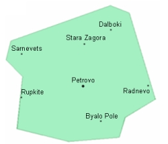
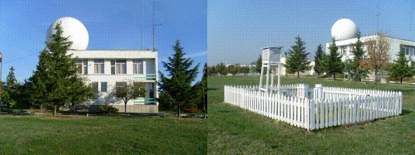
Command post of Hail Suppression Regional Directorate – the village of Petrovo, District of Stara Zagora
It was set up in 1989.
approximately 220 000 ha
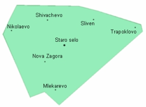
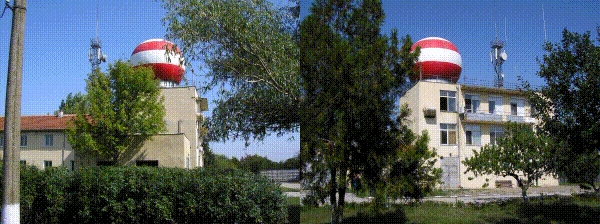
Command post of Hail Suppression Regional Directorate – the village of Staro selo, District of Sliven
It was set up in 1973. It is fitted up with MRL-IRIS
approximately 215 000 ha
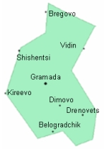
Command post of Hail Suppression Regional Directorate – the town of Gramada, District of Vidin
It was set up in 1971.
approximately 215 000 ha
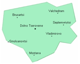
Command post of Hail Suppression Regional Directorate – the village of Dolno Tserovene, District of Montana
It was set up in 1972.

approximately 170 000 ha
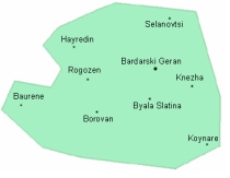
Command post of Hail Suppression Regional Directorate – the village of Bardarski geran, District of Vratsa
It was set up in 1973. It is fitted up with MRL-IRIS

approximately 200 000 ha
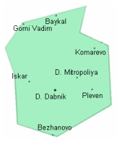
Command post of Hail Suppression Regional Directorate – the town of Dolni Dabnik, District of Pleven
It was set up in 1979.

approximately 185 000 ha
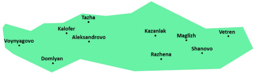
Command post of Hail Suppression Regional Directorate – the village of Тazha, District of Stara Zagora
It was set up in 2019
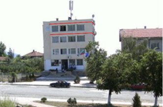
approximately 135 000 ha
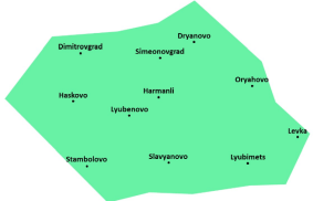
Command post of Hail Suppression Regional Directorate – the town of Haskovo, District of Haskovo
It was set up in 2019
approximately 220 000 ha

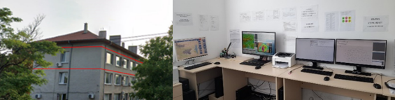
The information center is equipped with IRIS-Analysis.
The weather information from the seven MRL-IRIS radar stations is processed, visualized and analysed.
Real time radar information is transferred to users.